Aerial Visuals provide a unique perspective and can be an effective means of showing a relationship between the building and wider context of a site. We have effectively employed Aerial Visuals in sites within Areas of Outstanding Natural Beauty and with proximity to rivers, lakes and the coastlines, with the use of drone photography.
In the example shown right, visuals were prepared to represent this wholesale redevelopment programme set at the lower slopes of a large woodland area, within the Chilterns AONB and overlooking the most incredible vistas of the Old Kiln Lakes in Chinnor Quarry.
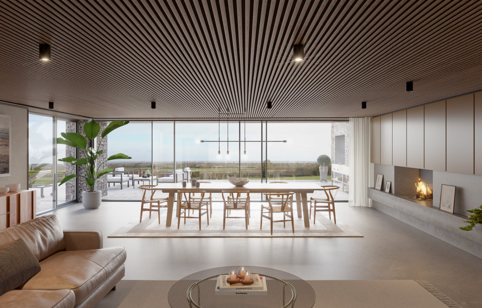
Working closely with the Chiltern Conservation Board, this residential scheme – on a site, formerly occupied by two rather undistinguished dwellings – placed the conservation and enhancement of the rural landscape and scenic beauty up front and centre in the design. Optimising extensive views of the site, while mitigating the visual impact of the development, was key.
The scheme presents five traditionally inspired, yet modern in appearance properties, placed in – rather than on – the landscape, working with the levels and natural slope of the site, to ensure the homes appear deeply nestled within their surroundings. In demonstrating this as a sensitive and appropriate scheme, Aerial Visualisation proved to be an essential tool in achieving a complex and notable Planning consent, and as with our previous example, had a secondary use for the onward sale of the land.
For our last post in the series on Visualisations, follow on next week.